|
Home | Group members | Documentation | Publications | External Links |

|
|
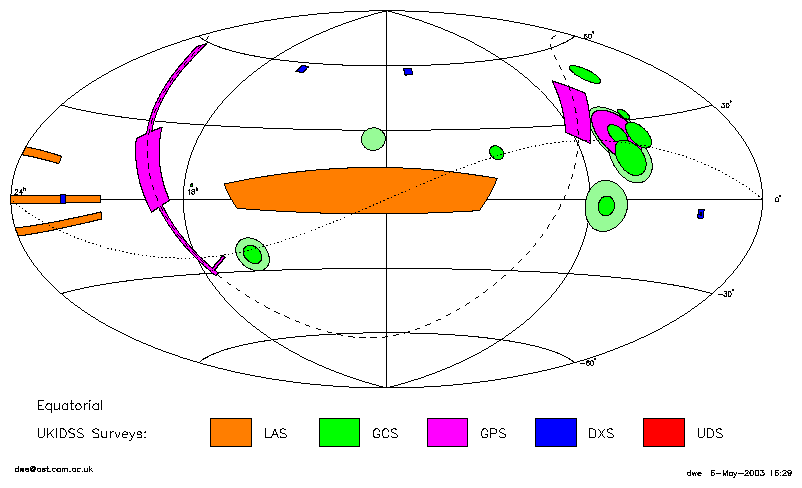
These are Dafydd Wyn Evans's survey diagrams. They are based on Steve Warren's diagrams of the UKIDSS survey. The main difference is that the surveys are all drawn to the actual size here (so you probably can't see the UDS!). Also a few more projections have been plotted.
An equivalent plot has been drawn for the 2-year plan. If any other projections are required, contact DWE.
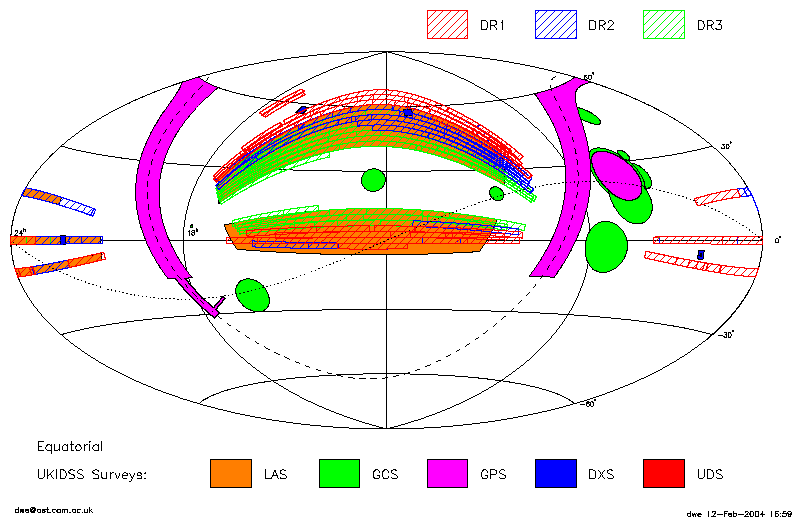
A plot of the whole survey has been drawn with the coverage of SDSS Data Release 1, 2 and 3 overlaid. For more information about DR1, DR2 and DR3, see their web pages. Again, if any other projections or similar plots are required, contact DWE.

Equatorial coordinates, rectangular projection.
PS version

Equatorial coordinates, Hammer-Aitoff projection (centred on 12h).
PS version

Equatorial coordinates, Hammer-Aitoff projection (centred on 0h).
PS version

Galactic coordinates, Hammer-Aitoff projection (centred on 180°).
PS version

Galactic coordinates, Hammer-Aitoff projection (centred on 0°).
PS version
2-year plan

Equatorial coordinates, Hammer-Aitoff projection (centred on 12h).
PS version
