ICELAND
Photo by Ralf Donner
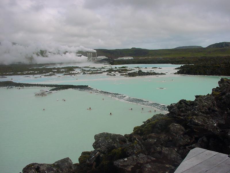
18: Blue Lagoon near Keflavik airport. Site of a geothermal power plant. The waste water is used to heat a swimming pool. For a while it was popular with jetsets on their way from New York to Europe.
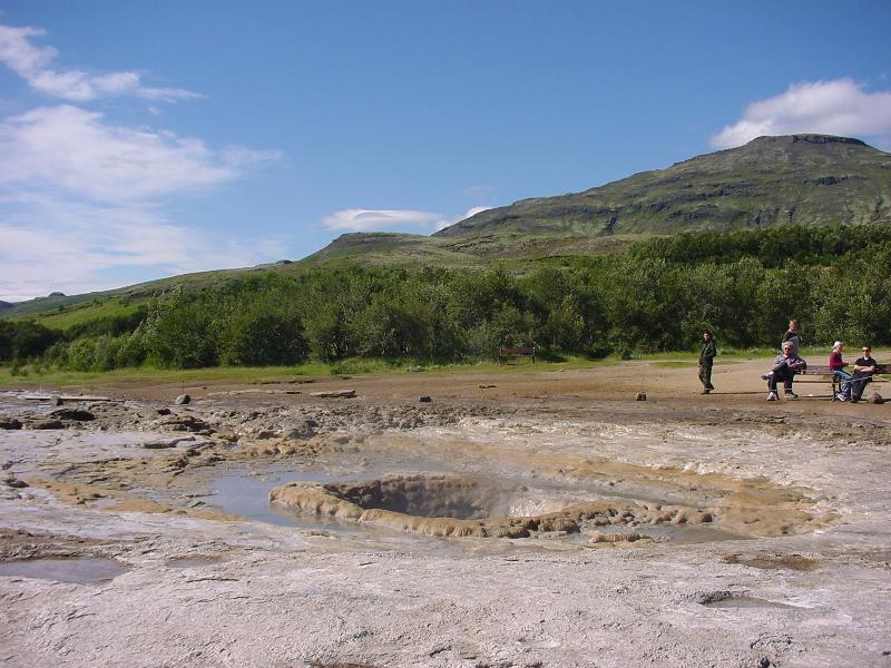
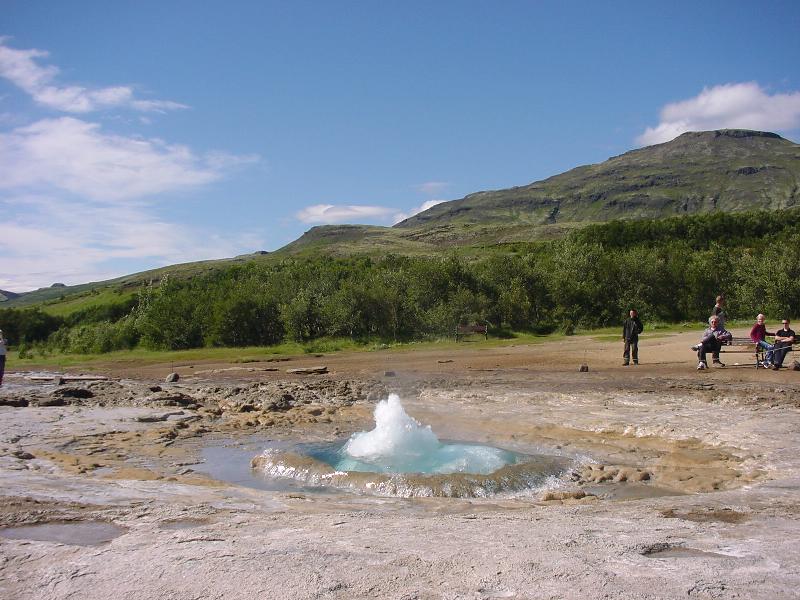
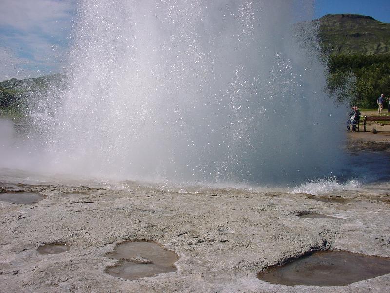
330, 331, 331b: the geyser Strokkur before, immediately before, and during eruption. Geysir itself (from which the name for this phenomenon derives) is nearby.
435: Gullfoss
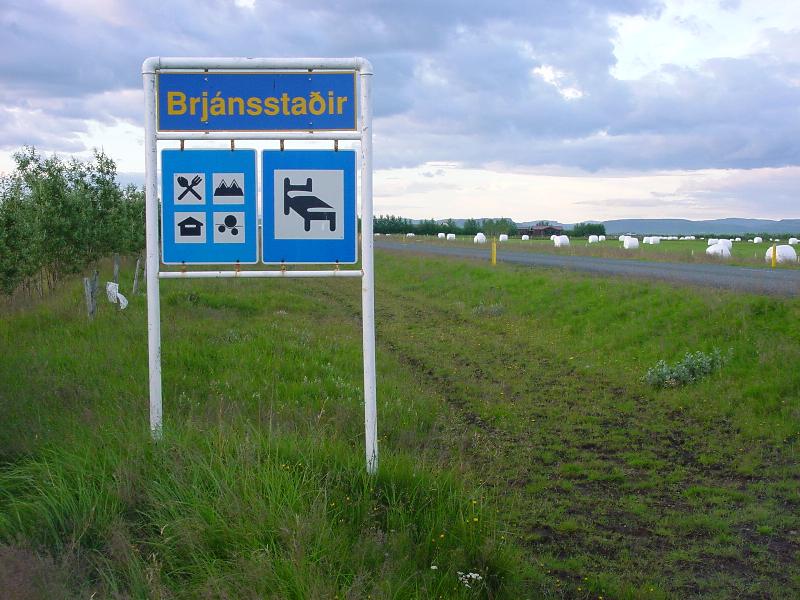
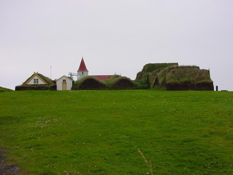
523: schools and farms such as this are converted into hotels in the summer months (note Icelandic has some extra letters)
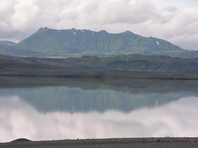
553: on the way to Landmannalaugar
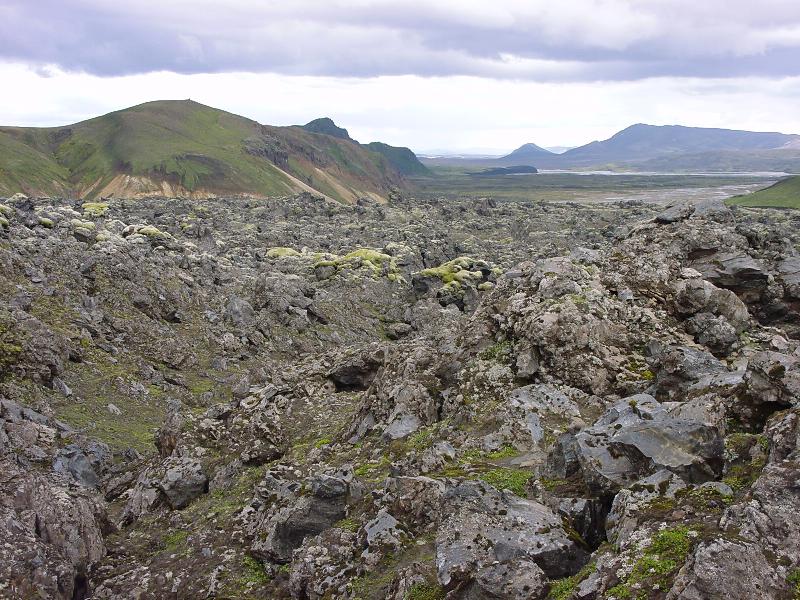
724: lava field at Landmannalaugar
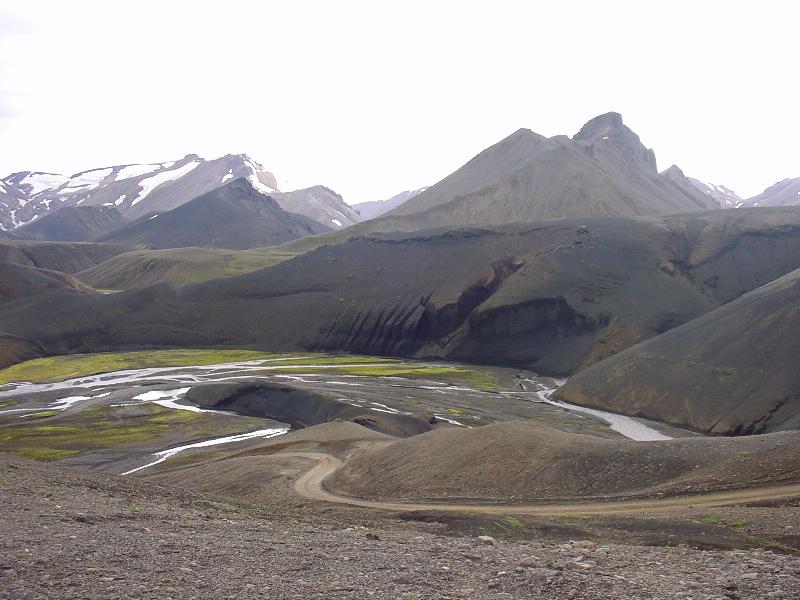
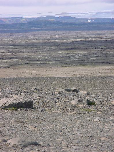
788: Eldgja valley. These are photos of the interior of Iceland, a completely uninhabited lava desert. There are no roads, only gravel paths, and it is dangerous in bad weather.
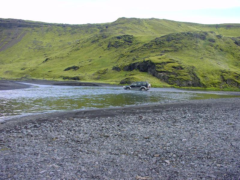
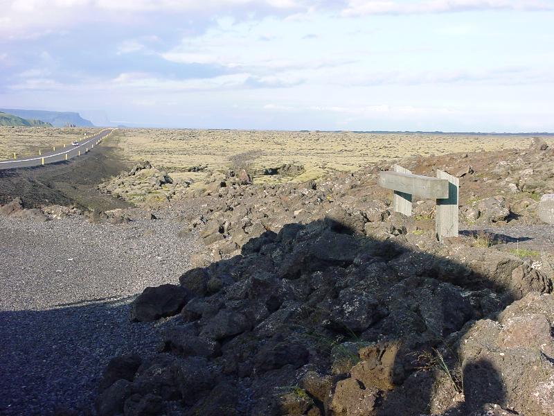
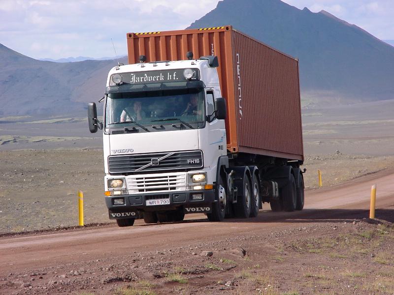
801: typical example of a road in Iceland
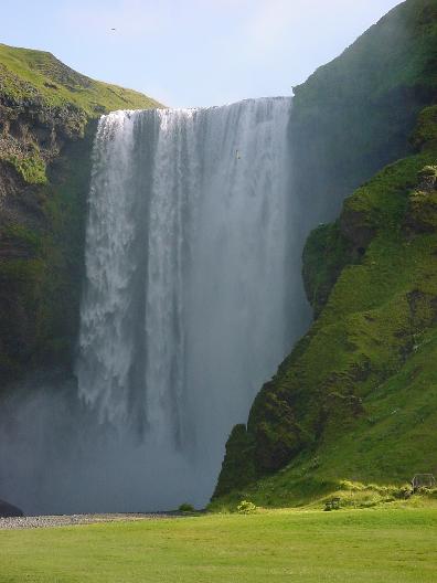
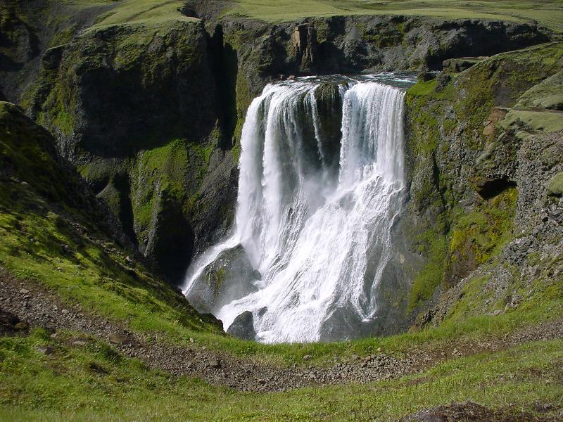
829: Skogafoss. That's a 'great skua' circling overhead. They attack humans if you get too close to their nest.
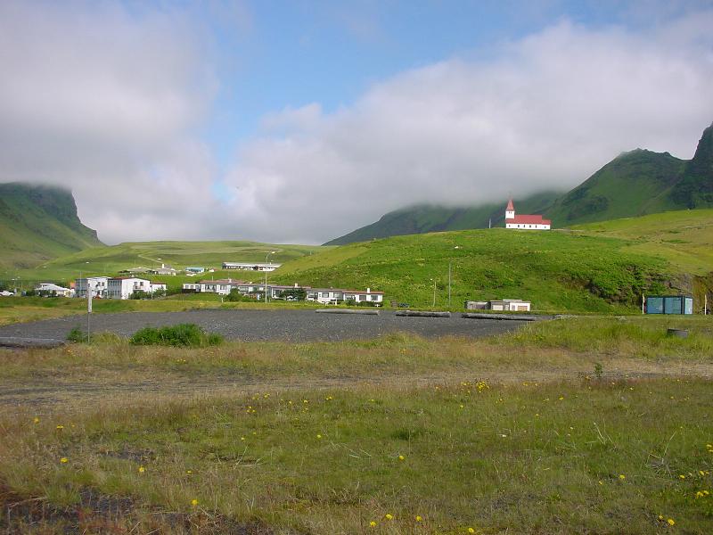
866: Vik. It's written in capitals on the map and is one of the biggest places on Iceland outside the capital. (You are seeing all of it).
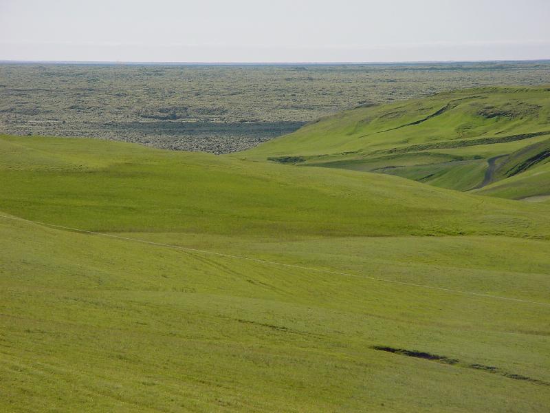
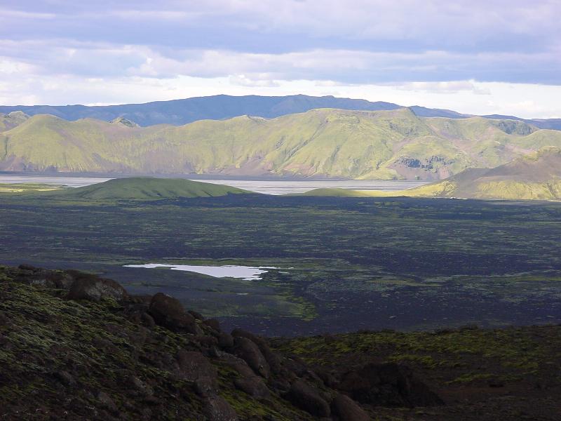
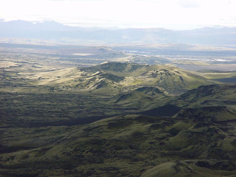
884: heading inland to Laki. On the horizon you see a lava field.
907: Fagrifoss
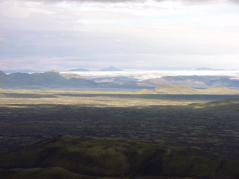
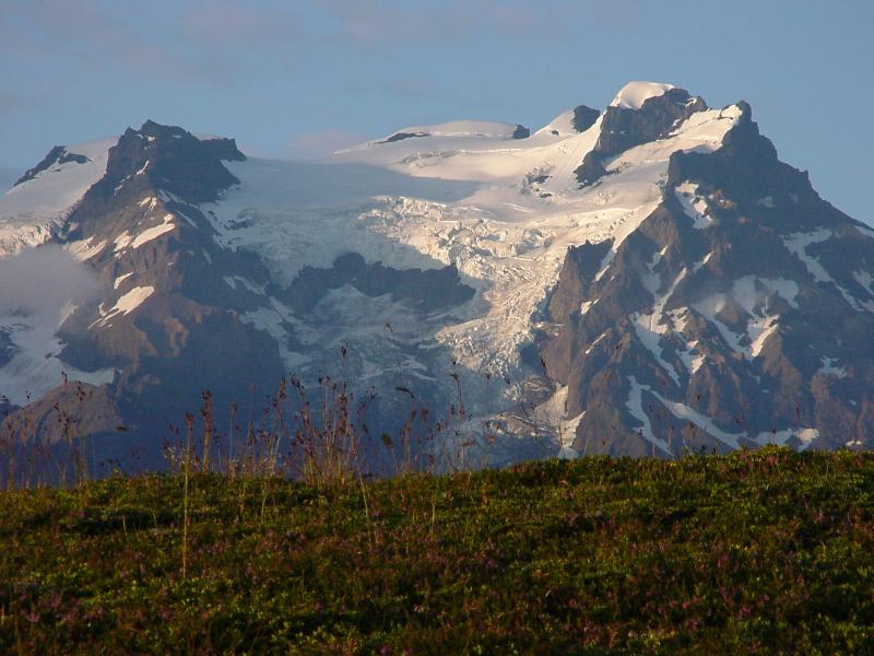
949, 950, 954: from the summit of the Laki. That line of craters was responsible for the largest volcanic eruption recorded in human history. It happened in the 1700s when the earth split open at Lakagigar. The flourine-containing tephra ash killed most livestock in Europe and the haze was seen as far as Asia. The 'Haze Famine' was the result on Iceland. In the distance you see the Vatnajokull, third largest ice cap after Antarctica and Greenland.
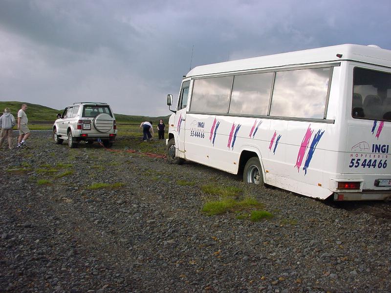
991: slight problem with the unsuitable shit bus
1014: the no. 1 highway, one of Iceland's only macadamized roads.
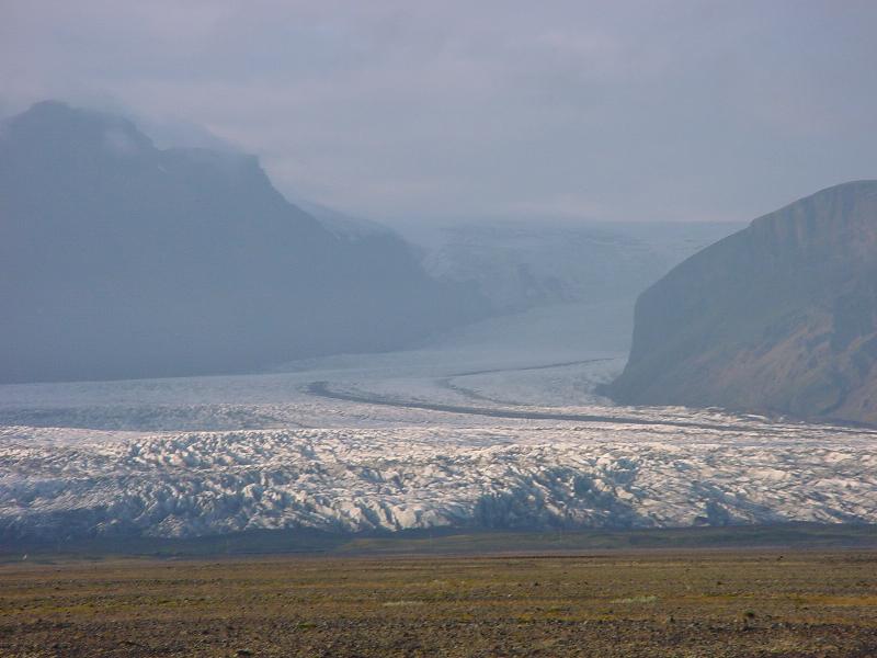
1038: one of the morraines of the Vatnajokull
1067: Skaftafell
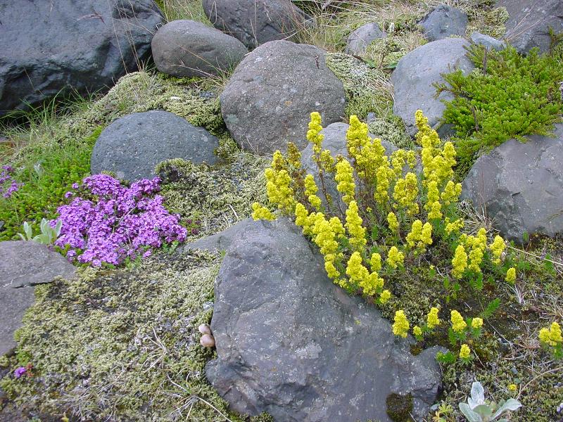
1189: there are essentially no trees on Iceland. Most plants are sub-arctic species with tiny leaves and flowers. Grass only grows near the coast.
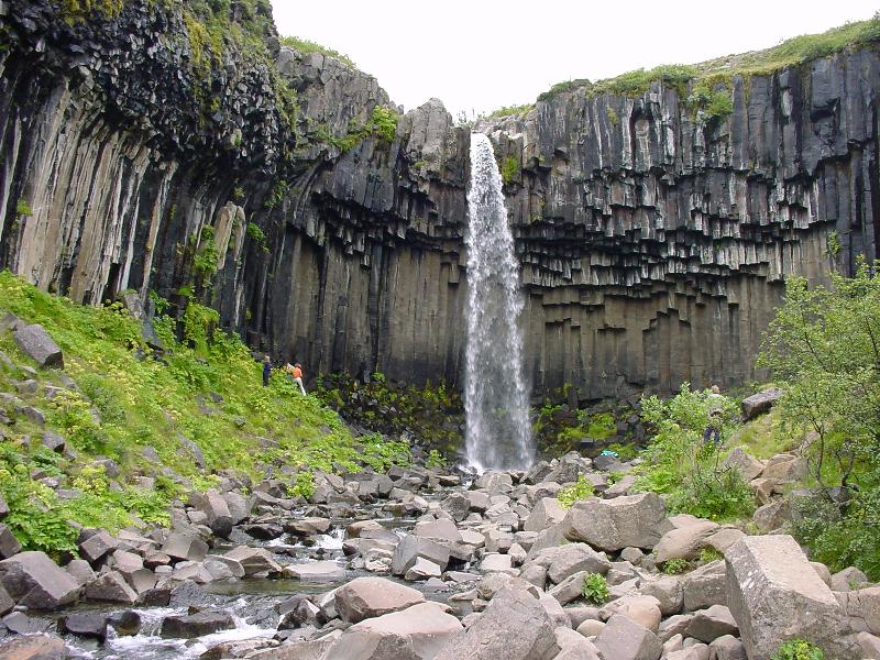
1243: Svartifoss. Note the basalt columns
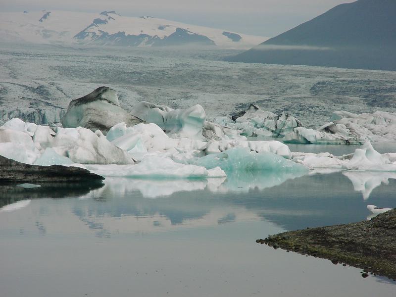
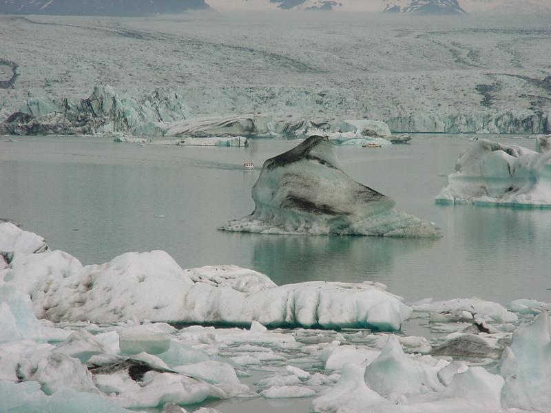
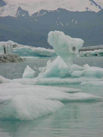
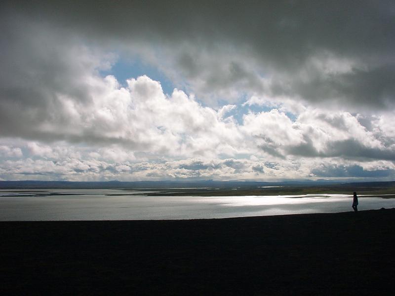
1291, 1304, 1316, 1350: Jokulsarlon (glacial lake) and the Vatnajokull. Note the boat on the water as an indicator of size.
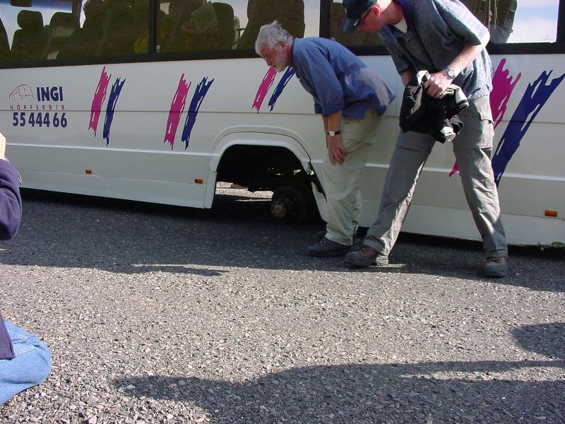
1428: slightly bigger problem with the shit bus.
1433: The wheels are found 500 m away.
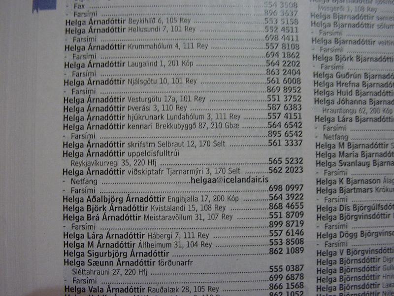
1475: telephone directory: it's sorted by first names, because the Icelandic surnames are derived from the father's first name, adding 'son' for men, and 'dottir' for women.
1503: highway no. 1
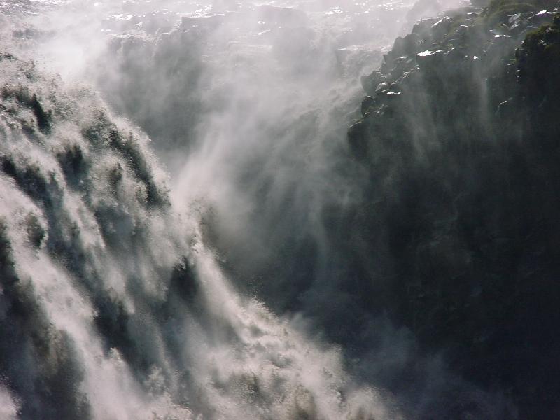
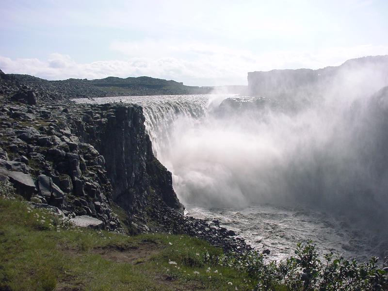
1582, 1591, 1603: Dettifoss, Europe's largest waterfall
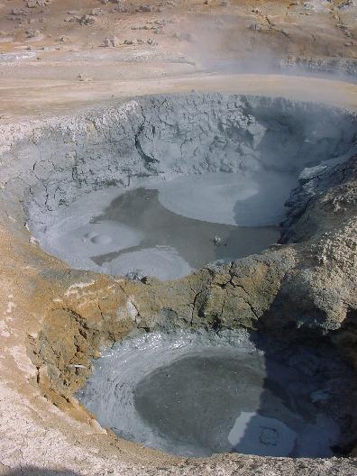
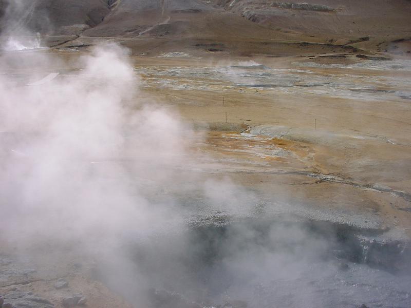
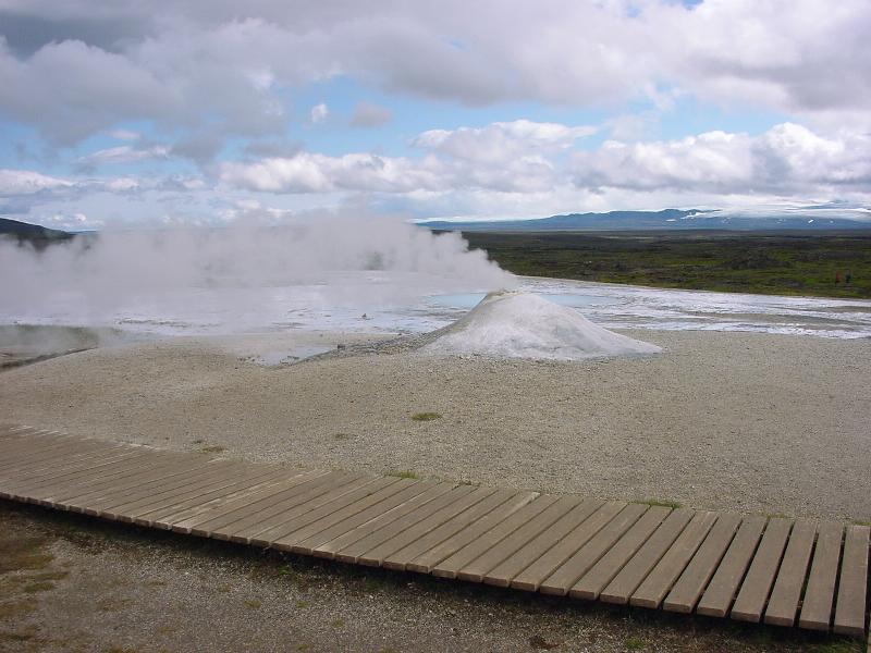
1634, 1711: bubbling mud pools and fumaroles at Namaskard
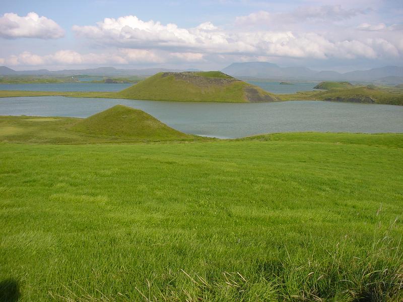
1729: pseudocraters, Lake Myvatn. Caused by boiling water under lava.
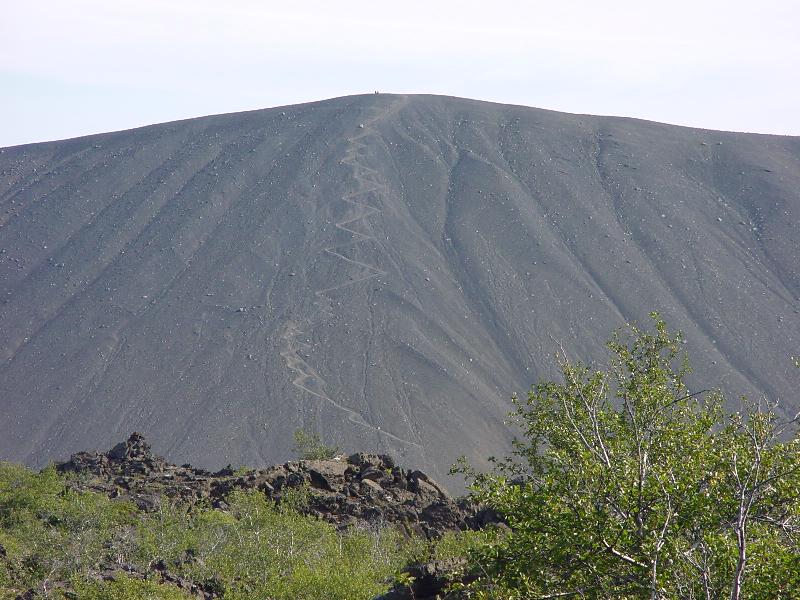
1749: Hverfjall volcano. I actually hiked up that path.
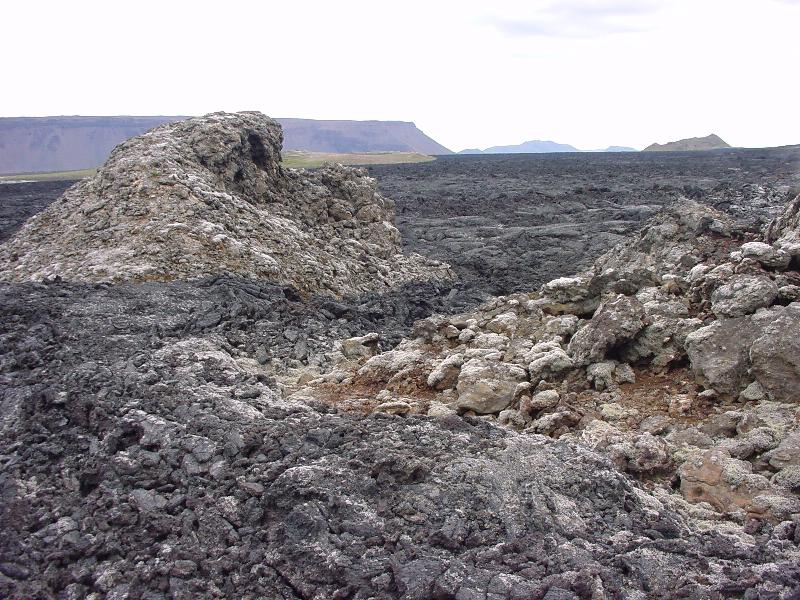
1939: Fresh lava field (1984 eruption) in the Krafla region
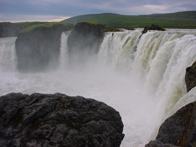
1993: Godafoss (curly d actually)
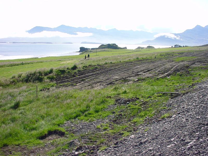
2020: near nowhere
2121: since there is no wood except driftwood on the island, this is how they used to live until the 19th century.
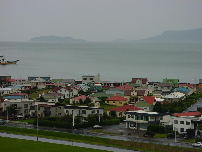
2134: Saudarkrokur on the Greenland Sea. (It's nearly midnight)
2155: The Krjolur route through the interior. God help you if you get lost here.
2229: Hveravellir
2260: Krjolur route.
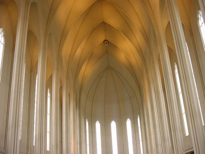
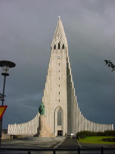
2352, 2353, 2479: Reykjavik and the Hallgrimskirkja (church), inspired by the basalt columns of the Svartifoss.